Record rains hit Southwest as extreme El Niño intensifies
Meteorologists warn that the current warming cycle is driving unprecedented storm intensity in the region.
By Julian Reed ·
The Pacific Ocean is running hotter than normal, and the consequences are landing hard on the American Southwest. A powerful El Niño event is currently injecting vast amounts of moisture into the atmosphere, fueling a series of intense storms that have strained infrastructure and forced evacuations. Meteorologists describe the current situation as exceptionally severe, with conditions that go beyond typical seasonal expectations.
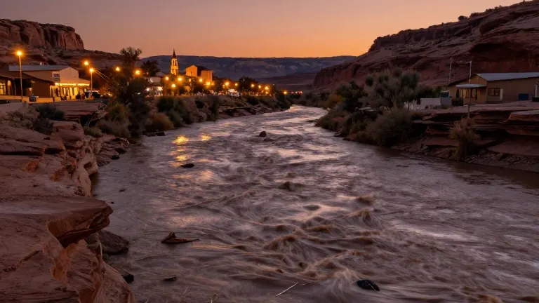
The buildup of this weather pattern has been rapid. Over the past two weeks, more than 20 trillion gallons of water have fallen across the Four Corners states and Nevada. This deluge followed a week of heavy rain that left southwestern states dealing with widespread flooding. On Sunday, flash floods compelled residents to leave their homes in northern New Mexico and central Arizona. In Colorado, a ski town prepared for its main river to rise to dangerous levels.
Scientists explain that El Niño cycles occur irregularly, often every few years. However, this particular iteration is being called a super El Niño. Jeff Masters, a meteorologist with Yale Climate Connections, noted the scale of the current event. "We’ve had super El Niños in the past, but this is a super duper El Niño," he said. The phenomenon is adding moisture to the air and shifting global wind patterns. These changes redirect strong air currents toward the Southwest, stirring up the added humidity and creating ideal conditions for downpours.
The impact is particularly acute in desert regions where the ground cannot absorb water quickly. Daniel Swain, a climate scientist at the University of California Agriculture and Natural Resources, pointed out the historical rarity of the current intensity. "The likelihood of big precipitation in the Southwest interior does go up this time of year, but we’re seeing it to a degree we actually haven’t seen before," he said. The warmer ocean waters are also influencing weather far away. Swain noted that record-breaking flooding has occurred in Peru and Ecuador, while parts of southeast Asia, including Indonesia, are experiencing drier than usual conditions.
Human-caused climate change is compounding the natural cycle. The global oceans are already warmer than they were 100 years ago. Randy Cerveny, a meteorologist at Arizona State University, explained that this baseline warmth makes El Niño situations more intense. "The fact that the ocean temperatures are already warmer than they were, say, 100 years ago, makes these El Niño situations even more intense," he said. This combination of natural variability and long-term warming creates a higher ceiling for storm severity.
The event is not yet at its maximum strength. Experts expect the El Niño to peak in December. At that point, it may more strongly harness jet streams, leading to more extreme storms across the western United States. The effects are not expected to vanish immediately after the peak. Park Williams, with UC San Diego's Scripps Institution of Oceanography, warned that the conditions for heavy storms will persist. "The dice are certainly loaded for more heavy storms this winter and spring," he said in an email.
While the heavy rains can help fill reservoirs in dry areas, they also pose risks to people and property. Cerveny emphasized that the ocean heating has not yet reached its maximum. "We’re not at the peak of the heating in the Pacific Ocean. So yes, we will see more of these particular events," he said. Authorities recommend that residents watch forecasts, plan ahead, and follow evacuation warnings as the weather system continues to evolve.
Source: MySA