
540 Homes Damaged as New Storm Brings 3 More Inches of Rain to Southern Colorado
Meteorologists warn that saturated soils from last week's record-breaking event will elevate flood risks this weekend despite lighter precipitation totals.
By Megan Parker ·
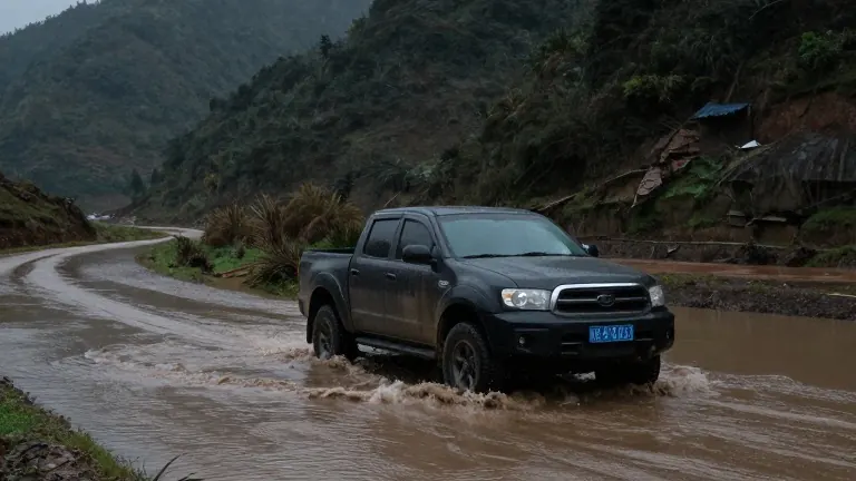
Archuleta County reported 540 damaged homes on Tuesday following a record-breaking storm that began on Oct. 21. That count may rise as officials assess the devastation across the region. The recent weather event caused heavy rain, falling rocks, washed-out roads, and flooding in 12 counties in southern Colorado and the Four Corners area.
Another wave of rain and snow is forecast for this weekend. The National Weather Service predicts light precipitation in lower elevations and light snow above 11,000 feet from Friday into Saturday. A heavier system is expected to bring more moisture from Sunday into Monday. Meteorologists estimate 1 to 3 inches of precipitation will fall around southern Colorado, with higher totals in the mountains.
The new storm is not expected to match the intensity of last week's rainfall. However, Eric Petersen, a National Weather Service meteorologist in Pueblo, said that saturated soils keep the flood risk elevated. He advised residents to watch for notifications from local authorities, such as evacuation watches. Petersen noted that communities already flooded should prepare for the potential of higher water levels again.
Brooke Scholtens, a meteorologist for the NWS Grand Junction region, explained that an atmospheric river is bringing moisture from the Pacific Ocean. This narrow band of water vapor is combining with a pocket of low atmospheric pressure to produce rain and snow. She stated that the flooding does not look as widespread as the previous event, but flash flooding remains a risk due to the wet ground.
River gauges are closely monitored to determine emergency response triggers. The San Juan River reaches its action stage at 9.48 feet in Pagosa Springs. It is projected to hit 9.51 feet on Monday morning, though that figure could change. Communities like Del Norte and Monte Vista may see high flows again early next week, particularly along the Conejos River and the South Fork of the Rio Grande.
Russ Schumacher, state climatologist with the Colorado Climate Center, said the period from September through October is likely to be the wettest on record for much of southern Colorado. He explained that the term 100-year storm refers to a 1% chance of occurring in any given year, not a guaranteed 100-year interval. Schumacher noted that the current weather patterns carry the fingerprint of a super El Niño, which typically brings wetter autumns to the state's southern regions.
Source: The Colorado Sun